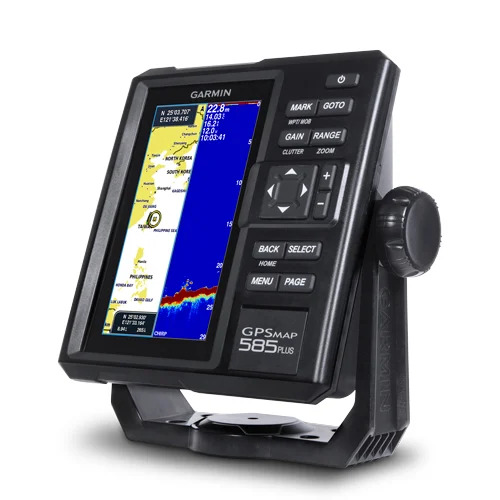
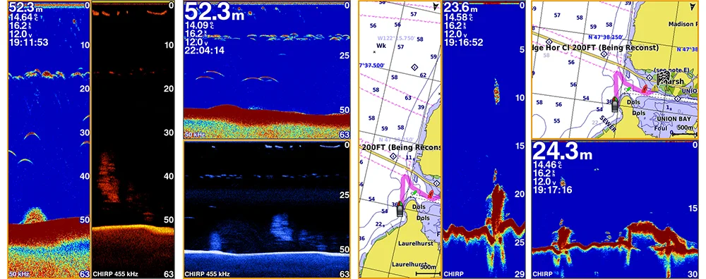
The all-new GPSMAP 585 Plus chart plotter / sonar combo is available in 6-inch display. GPSMAP 585 Plus is offered a worldwide basemap and support all Garmin marine charts also with Asian multi language support and developed the target for semi-commercial fishing market. GPSMAP 585 Plus gives you high wide CHIRP sonar and CHIRP ClearVü scanning sonar capabilities which shows crisp fish arches with excellent target separation and provides clear images of structure below the boat. Supporting GPS, GPS + GLONASS, GPS + BEIDOU 3 kind of positioning modes. New Garmin Quickdraw™ Contours software included lets you create your own maps, with up to 1-foot contour lines, on any body of water.